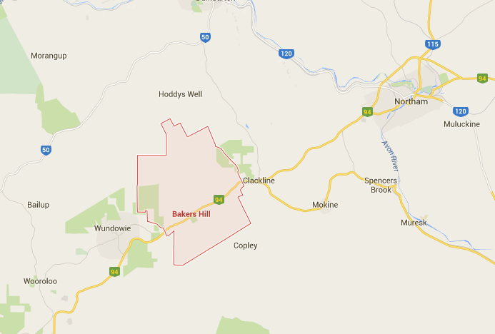
- To survey the subsurface utilities on the Great Eastern Highway, Bakers Hill.
- This included:
- Full pot holing
- Installation of PVC markers
- Data to be used by MainRoads WA designers to facilitate a cost effective design and to ensure that no damages would occur to utilities during the construction phase
Our aim:
- To provide clients with accurate, timely information in a format that they can use
- To support our client and make sure they have everything they need first time, thus saving them time and money
- To deliver excellent customer service at all times
The data we collected from this project was essential to the work of Julian Ford, Asset Management Officer MainRoads WA Wheatbelt Region. This is what he had to say about the quality or data and the experience of working with Subtera on this project.
How our data is used:
“Before we can use data supplied by external contractors it must be geo referenced with a defined coordinate system. As part of the planning process I collate data from various sources and overlay them to create one master design overview that enables us to see how everything ties together within the project area.”
Biggest challenges:
“The biggest challenge I face is receiving data that is not geo referenced or is geo referenced but does not have a clear coordinate system defined. When this happens we have to go back to the contractor to get this information added onto the file or the coordinate system identified. Having to go back for additional information not only causes frustration but also causes delays that could result in projects taking a significantly longer time to be finalised.”
Solutions provided by Subtera:
“The team from Subtera went out of their way to provide us with good data that was fully geo referenced, very thorough and contained a lot of detail. They provided this in native GIS (Geographic Information Systems) format. All of their pick up was delivered in a shape file that already has coordinates that GIS can use. This means it can be overlayed easily with other datasets ensuring everything ends up in the right place, giving me peace of mind that no shifts have occurred in the data due to any conversions that may be required.”
Longevity of data:
“Although the data is specific to this project we will keep it on file indefinitely. For every new construction a subsurface survey and pick up must be completed and the quality of data that Subtera provided was very comprehensive giving us a clear overview of the project area and making it easier for us to get moving with the next stage.”
Recommendation:
“Dale at Subtera was very accommodating and was very proactive in regards to his communication with us to make sure he supplied us with the data in a format and to a standard that MainRoads could use. He wanted to make sure that his company delivered exactly what we wanted. I would certainly recommend him and his team. They went above and beyond.”
Recent Comments