The Claremont Showgrounds has been an iconic Perth venue since its inception in 1905. It’s a 32 acre site housing a variety of infrastructure and the home of some of the biggest events hosted in Perth. The forward thinking management of the Royal Agricultural Society have undertaken a massive investment in mapping their subsurface assets to assist in the future development of the site, risk management and daily operations.
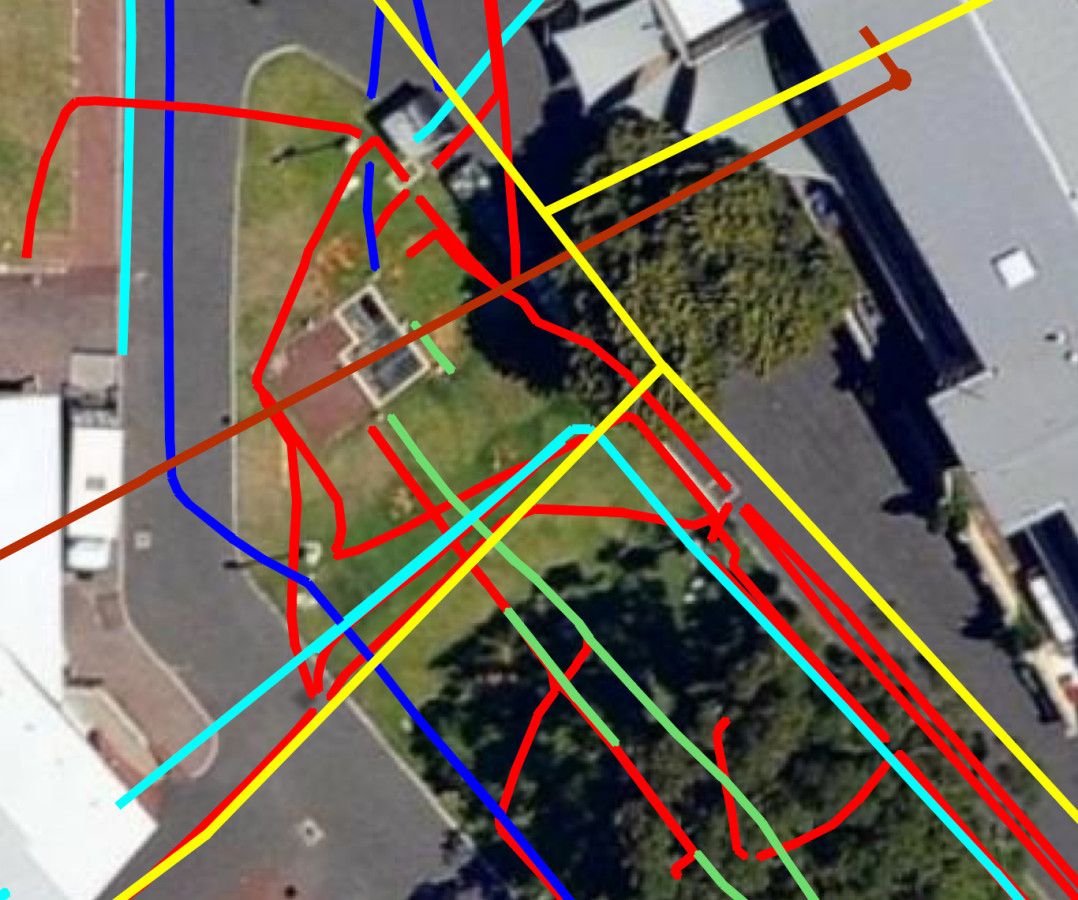
Subtera have responded to the challenge using the latest underground cable locators and ground penetrating radar technology to map the existing subsurface utilities. As the site has been in use for over 100 years the extent and complexity of the subsurface utilities proved a challenge. By using a combination of GPR and electromagnetic line locating we were able to build an accurate ‘As Constructed” subsurface utility model of the site.
Recent Comments